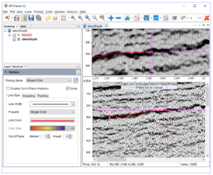
Picking Horizons in INTViewer 5.2
Horizon picking is a feature that INTViewer has included from the start. However, after discussing with several long-time users, I have found that the evolutions […]
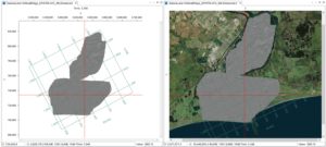
Overlaying Shape Files on Seismic Surveys
In our post, “Closer Look at Coordinate Conversions,” we allude to the capabilities of INTViewer with coordinate system conversions. One benefit of on-the-fly conversions is […]
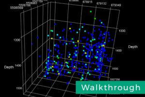
Visualize Microseismic Events with INTViewer Plugins [Walkthrough]
INTViewer is well-known for its seismic analysis capabilities. Among the less well-known plugins, there is a set that always impresses during demos: the microseismic plugins, a set of four plugins that allows INTViewer users to visualize microseismic events.
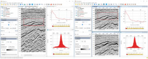
New Window System for INTViewer 5.2
If you are already a user of INTViewer, the first thing you will certainly notice when you open INTViewer 5.2 for the first time is the new window system. The way windows are laid out on screen has changed, introducing tabs to browse through these windows.
A Closer Look at Coordinate Conversions
INTViewer makes coordinate conversions virtually transparent to users. Users pick two Coordinate Reference Systems (CRS), one for their data and one for the visualization map, […]


