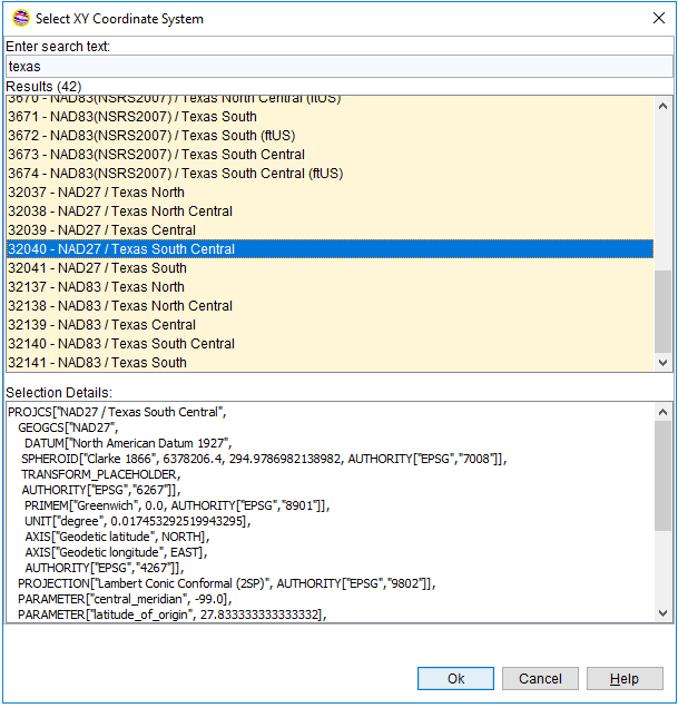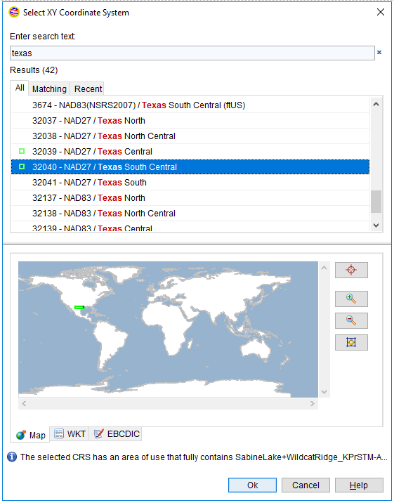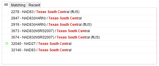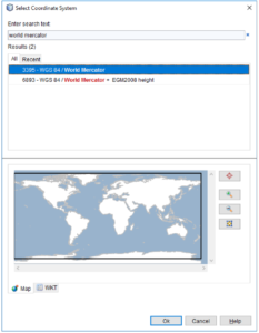
INTViewer makes coordinate conversions virtually transparent to users. Users pick two Coordinate Reference Systems (CRS), one for their data and one for the visualization map, and the visualization updates automatically.
How does INTViewer do it? The short answer is “it depends”. The long answer is that the strategy used varies based upon the CRSs selected, and the points to convert. To explain this, a better understanding of CRSs is needed: Coordinate Reference Systems are essentially defined as an origin, a bounding box, and a mathematical formula to convert each point to LAT-LONG coordinates.
A well-known CRS is the Mercator projection spanning the entire globe (except the poles) and using LAT-LONG coordinates with Greenwich, UK as its origin. This CRS is known in INTViewer as “WGS 84 / World Mercator”.
There are thousands of well-known CRSs used all over the world; this is only one of them. The European Petroleum Survey Group (EPSG) was formed in 1986, and maintains the list of these CRSs. This group provides a database of CRSs to all subscribers and this database is exported in the form of XML files to INTViewer. When you pick a CRS, you are essentially going through that exported list of CRSs.
When INTViewer converts coordinates between two CRSs, one strategy is to use WGS 84 as a hub. This means that we first convert coordinates from the first coordinate system to the WGS 84 coordinate system, then we convert the resulting coordinates to the second coordinate system. Unfortunately, this cannot be done with the CRS definitions alone; a “transform to WGS 84” needs to be specified for the conversion to WGS 84.
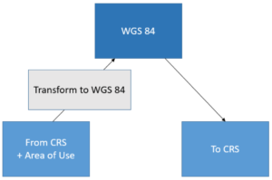
By default, INTViewer doesn’t prompt for that transform even where there are several possible options. INTViewer picks the transform to WGS 84 automatically based upon the bounding box of the points to convert. Each transform has its own “area of use” and INTViewer tries to pick the transform that has the smallest area of use but still contains all points to convert.
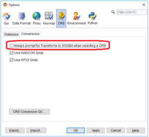
Users can elect to pick transforms manually by checking the highlighted option in the CRS options panel.
The “WGS 84 hub” technique is an easy way to convert coordinates between any two CRSs, but this is not the most accurate method, as it can introduce errors of more than 10 meters. For really accurate conversions, NADCON (North American Datum CONversion) and NTV2 (National Transformation Version 2) grids are a better option.
In a few words, NADCON and NTV2 grids allow much more precise conversions between two CRSs that have overlapping bounding boxes. NADCON and NTV2 grids are not defined for the entire planet, only specific areas of interest like North America, Europe, Australia, or the Middle East. As a result, INTViewer will use the WGS 84 technique as a fallback only if NADCON or NTV2 grids are not defined.
North America typically uses two different datums: NAD27 and NAD83. NAD27 and NAD83 are two geodetic reference systems, one created in 1927, the other in 1983. In 1989, U.S. states started defining High Accuracy Reference Networks (HARN) using GPS technology, making it possible to convert coordinates to LAT-LONG without a loss of precision of more than one meter. To take advantage of this precision, INTViewer attempts to use HARN-based conversions when possible.
In conclusion, the strategy to convert coordinates is highly based on the area of use (the bounding box) of the points to convert. If these points are found to be outside of a NADCON or NTV2 area, WGS 84 will be used as a hub. HARN may be used within the NADCON areas.
INTViewer has been evaluated against the OGP Geospatial Integrity of Geoscience Applications (GIGS) compliance guidelines and found to be compliant in 2013. The International Association of Oil&Gas Producers (OGP) created these guidelines to eliminate common failures of geospatial integrity in geoscience software applications.
While not a pure mapping software, INTViewer tries to find the right mix between ease of use and accuracy. The accuracy is good enough that it can be used to manage exclusion zones in seismic data, as demonstrated by the Mineral Rights plugin. As a developer, you can leverage this conversion mechanism in your own plugin without worrying about the implementation details.
Check back soon for more new features and tips on how to use INTViewer or contact us for a demo.
