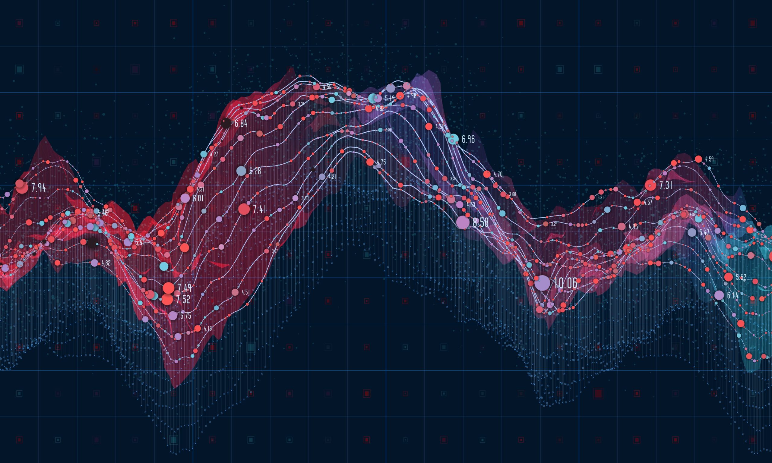

Comparing Storage APIs from Amazon, Microsoft and Google Clouds
One of the unique capabilities of IVAAP is that it works with the cloud infrastructure of multiple vendors. Whether your SEGY file is posted on Microsoft Azure Blob Storage, Amazon S3 or Google Cloud Storage, IVAAP will be capable of visualizing it.

IVAAP Release 2.7: More Map Search and ArcGIS Features
Highlights from the IVAAP 2.7 release include many advanced search and map capabilities, improved 3D widget filter dialog, new interval curves support, new date/time picker for Cross-Plot widget axis settings, and more!

A New Era in O&G: Critical Components of Bringing Subsurface Data to the Cloud
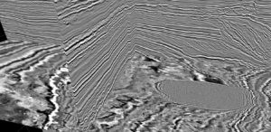
The oil and gas industry is historically one of the first industries generating actionable data in the modern sense. For example, the first seismic imaging was done in 1932 by John Karcher. Since that first primitive image, seismic data has been digitized and has grown exponentially in size. It is usually represented in monolith data sets which may span in size from a couple of gigabytes to petabytes if pre-stack. The long history, large amount of data, and the nature of the data pose unique challenges that often make it difficult to take advantage of advancing cloud technology. Here is a high-level overview of the challenges of working with oil and gas data and some possible solutions to help companies take advantage of the latest cloud technologies.
INT’s GeoToolkit.JS 2020.1 Release Brings Major Features in 2D/3D Visualization and Optimized Rendering in Web Browser
INT is pleased to announce the newest release of GeoToolkit.JS data visualization libraries and toolkit. This major release includes new 3D visualization capabilities—contour 3D, 3D shape highlighting, and better 3D seismic—and new rendering options.