INT Supports The Open Group OSDU™ Forum Mercury Release with Advanced Domain Data Visualization in the Cloud
As a long-standing OSDU Forum Member, INT has worked closely with the OSDU development teams to ensure seamless integration of IVAAP visualization of OSDU data […]
How to Use INTViewer 2021’s New Mapping Capabilities
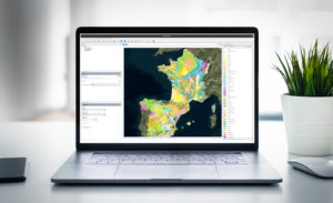
The upcoming release of INTViewer 2021 has new map features including a RemoteMap plugin and support for the import and export of GeoTIFF files. In the previous version of the RemoteMap plugin, users could use a Web Map Tile Service like Google or Bing to visualize in the background. In the 2021 update, we have added the possibility to set up a custom WMS server.
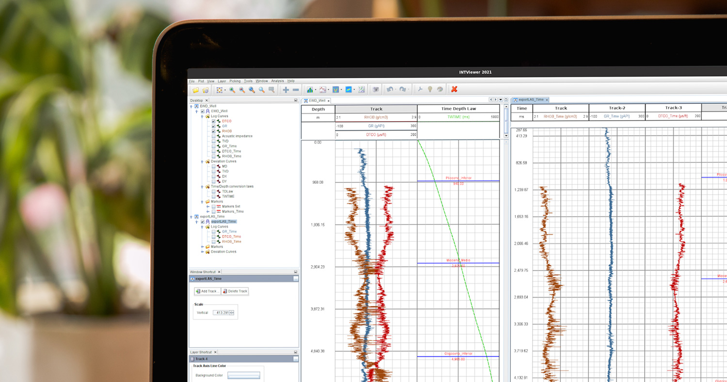
INT’s INTViewer 2021 Release Extends Functionality for Geoscience Data QA/QC from Anywhere
INT is pleased to announce the newest release of INTViewer. This release includes a RemoteMap plugin, support for the import and export of GeoTIFF files, a new extended well data structure, and flexible license borrowing.
How OSDU Can Help Data Management
Data management can benefit from a single point of access of all subsurface data, simplifying data exchange, sharing, and consumption. For data managers, OSDU can enable new technology solutions that aggregate data, simplify search, and improve discoverability. Paired with the right subsurface data visualization platform technology, OSDU can pave the way to automate tedious tasks, workflows, and analysis, ultimately providing quicker information to stakeholders for faster decisions.


